


Space infrastructure has become a strategic enabler of Arctic militarization, supporting navigation, surveillance and power projection across the High North.
Carla Reinhard and Filippo Perini, EPIS Arctic & Space Report Group
Overall Report Theme: The Militarization of the Arctic
Article Research Question: What is the impact of the militarization of the Arctic on the development and strategic use of space infrastructure?
Structure of the Article
The Arctic is no longer “High North, Low Tension” (Wainscott-Sargent, 2026). Russia’s invasion of Ukraine in 2022 has accelerated a process of power contestation in the region that had started years earlier. By 2018, China had already declared itself as a “near-arctic state” (Woon, 2020) and by 2019, US President Donald Trump had communicated he was “looking at” purchasing Greenland (Curtis & Fella, 2026). Because of climate change, the Arctic has steadily risen in global interest for commercial and security reasons due to new sea routes opening and critical minerals becoming accessible. This increased strategic competition has led to the militarization of the Arctic. In February 2026, for example, NATO launched the mission Arctic Sentry (Arctic Security, 2026). For military purposes, secure and steady communication is essential. However, the High North has long suffered from the so-called “Arctic Communication Gap”, where the Earth’s poles are not covered by satellites in geosynchronous orbit that are used for military communications, because they are positioned above the equator (Fuller, 2026). Faced with the increasing militarization of this remote region, this gap now becomes more urgent to fix. Yet, military dependence in the Arctic goes beyond communication, for example for navigation, surveillance and environmental monitoring.
This article will first examine the development of Arctic militarization and the role of communication systems in the High North, including gaps and emerging opportunities. It will then dive into how satellite infrastructure supports navigation, surveillance and environmental monitoring and how these space-based capabilities can enable military power projection and increase strategic competition between Russia, China, the U.S. and the EU. Finally, it will look at future implications of a growing dependence on space infrastructure.
As outlined in the introduction, the Arctic has increasingly been militarized. To discuss this militarization, it is important to understand what the Arctic encompasses. Today, there is no universally binding definition of the Arctic region with clear boundaries. A widely used term is the Arctic Circle, which is based on the astronomic definition of the region between the latitude 66°33′48.8′′ N and the North Pole. At the institutional level, definitions vary further: the IMO Polar Code draws its own boundary for shipping regulation, while the 2011 Arctic Search and Rescue Agreement divides the region into national responsibility zones. The 2017 Agreement on Enhancing International Arctic Scientific Cooperation defines Arctic space based on areas each of the eight Arctic states according to the Arctic Council – Canada, Denmark, Finland, Iceland, Norway, Russia, Sweden and the United States – self-identifies (Han et al., 2020). This region, regardless of how the boundaries are exactly drawn, has become an arena of increasing interest and competition, not only for Arctic states but also for China and NATO Member States. With Sweden and Finland’s accession to NATO in 2023 and 2024 respectively, the Arctic security landscape changed. Finland’s membership added 1’340 kilometres of NATO-Russia border, integrating the Nordic Arctic into the Alliance’s operational planning and triggering infrastructure investments, such as the revitalization of Andøya Air Station in Northern Norway instead of the planned closure originally decided on in 2016. The station is used for the surveillance and defence network of NATO in the region (Raspotnik, 2025). The Arctic is strategically crucial and increasingly so, which explains the militarization dynamic. First, the invasion of Ukraine by Russia has hardened geopolitical dynamics, making NATO-Russia relations more hostile. The Arctic is the shortest route between North America and Russia/Eurasia for ballistic missiles and, therefore, an important geographic location to monitor possible launches. Both Russia and NATO use stations and radars on the ground in the Arctic for satellite communications (SATCOM) for such early warning systems. And through collaboration with Russia, China is working to establish a similar early warning infrastructure Second, the Arctic has become a key location for space power projection (Berge & Bergmann, 2024). Satellites in polar orbits circle the Earth at low altitudes passing over the poles, meaning that ground infrastructure in the Arctic can maintain more frequent contact with such systems than stations more in the south. This has led to a growing interest in having a physical presence in the region, including dual-use facilities, further accelerating the militarization of the Arctic (Falco et al., 2024). Both dynamics show that military operations in the Arctic rely heavily on communication and space-based infrastructure. However, the Arctic poses challenges in this regard with the Arctic communication gap and related vulnerabilities. Due to the position on the equator, the coverage by geostationary satellites is unreliable in the Arctic and undersea cables are vulnerable to hostile attacks such as in Svalbard in 2022 (Cannon et al., 2026). Additionally, the existing Arctic SATCOM lacks the capacity for the increasing operational requirements, even the U.S.’ encrypted military satellites (Berge & Bergmann, 2024). The combination of increasing military activity and weak communication infrastructure therefore creates a structural vulnerability in the Arctic. This makes improving space-based infrastructure and capabilities in the region a strategic priority not only for communication, but also for navigation, surveillance and environmental monitoring, as the following section will examine.
Potential images
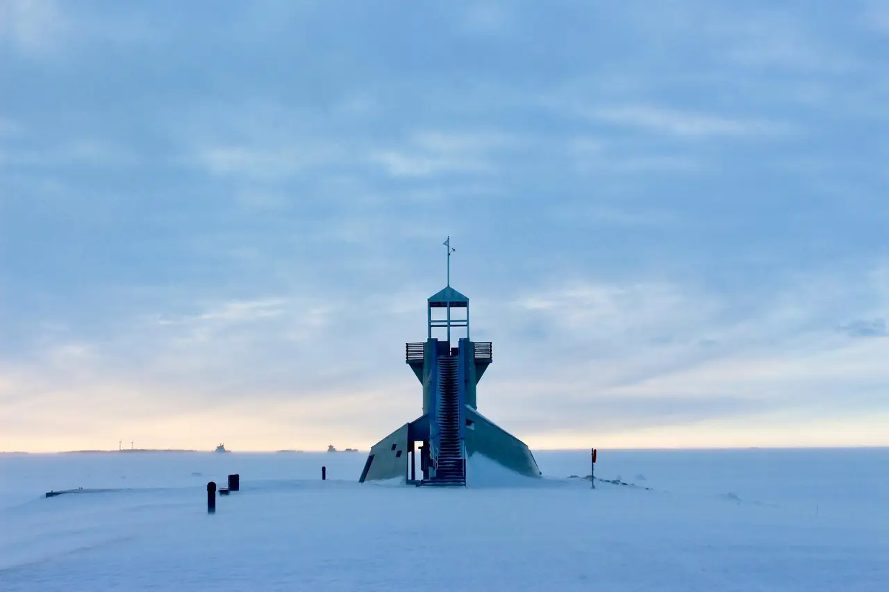
Anne Winter, Unsplash
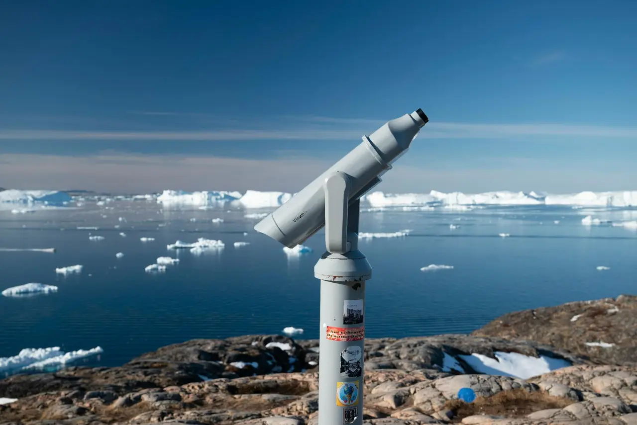
Dave Meckler, Unsplash
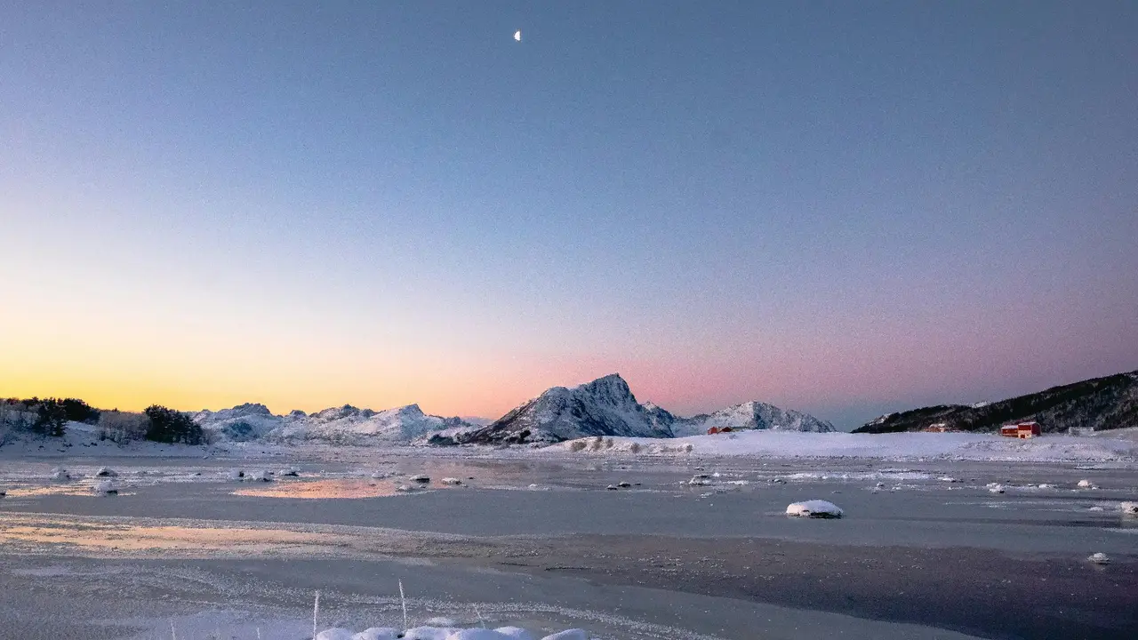
Emmeli M, Unsplash
3. Space Infrastructure Beyond Communication
While discussions of space infrastructure in the Arctic often start with communications, it would be more appropriate to consider the Arctic as a broader operational context (NOAA, 2024). Given that the region has few direct observations, limited ground-based infrastructure, significant distances and constantly changing ice conditions, satellites today also offer positioning services, remote sensing, environmental monitoring and assistance in search and rescue operations, which are difficult to replicate from the ground (European Union, 2023). Navigation is a cornerstone of space infrastructure in the Arctic (ESA, 2019). The Satellite-based positioning, navigation and timing systems are indispensable for both maritime and air operations, especially in areas where ground-based infrastructure is scarce and distances are vast (3000-6000 km) (SBG Systems, n.d). Nevertheless, it remains a challenge to navigate at higher latitudes. The Arctic environment, with its unique atmospheric conditions, can interfere with satellite transmissions due to meteorological events and geomagnetic fluctuations, negatively affecting the accuracy and stability of positioning (Yastrebova et al., 2021) (World Meteorological Organization, 2026). For this reason, activities in the Arctic frequently rely on the combined use of multiple satellite navigation systems, such as Galileo, GPS and GLONASS (created by Russian Federation, born as a counterpart of the US GPS), supplemented by any local aids (European Union, 2023; van der Meeren et al., 2015).
Observing and surveilling is a key secondary objective. Polar and sub-polar orbits allow for more frequent flyovers of the Arctic, whilst radar systems can penetrate clouds, operate at night and function in poor visibility (European Commission, Joint Research Centre, 2023). The European Space Agency states that Sentinel-1 produces images in all weather conditions, day and night, to monitor Arctic sea ice, map it regularly, detect and identify ships for maritime safety (European Space Agency, 2016). With regard to movement monitoring, the ‘Arctic Report Card’ on maritime traffic across the entire Arctic region notes that automatic identification system (AIS) satellite tracking beyond the Arctic Circle began in September 2009, providing comprehensive data with over 173 million records in 10 years, showing an increase in both shipping activity and a marked seasonal variation (Berkman et al., 2022). Such monitoring systems only become operational with the aid of ground-based systems specifically designed for polar and inclined orbits, highlighting the strategic importance of the Arctic data reception downlink network within the broader space-to-ground exchange mechanism.
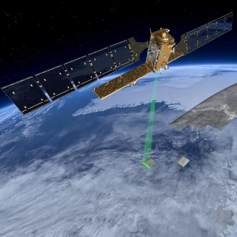
ESA, Sentinel-1
Environmental monitoring is emerging as the third key priority, given that access to the Arctic is inextricably linked to sea ice conditions, weather patterns and the changing seasons. The ICESat-2 satellite, a NASA project launched in 2018, uses a laser altimetry system (10000 lasers pulses a second) which, by counting photons, determines the elevation of polar ice caps, glaciers, sea ice and bodies of water with unprecedented data accuracy, establishing a long-term observational benchmark for tracking changes in the cryosphere (NASA, 2016). Combined with Copernicus radar data and NOAA’s monitoring of shipping movements, these measurements provide crucial insights for route planning, hazard assessment and infrastructure decision-making. These capabilities structurally link the Arctic to space. However, this dependence also creates a vulnerability: NASA has highlighted how solar storms have affected ICESat-2 operations, demonstrating how space weather can compromise the flow of data from the poles (NASA, 2024). If we look at the analysis, the same principle applies to technical malfunctions, disruptions and the limitations of a limited number of essential satellite services and ground-based connection points.
4.Space as Enabler of Militarization
In Part 3, we outlined the close link between activities in the Arctic and space. The military implication is visible and clear, beyond supporting operations, space-based infrastructure enables long-duration missions. The US Arctic Strategy emphasises the need to enhance situational awareness and communication capabilities in the Arctic to ensure deterrence. It highlights the region’s importance for national security and as a strategic projection point towards Europe (DoD, 2024). Furthermore, new space technologies are required for missile warning and monitoring.
Amid growing tensions, Russia is conducting activities in the Arctic, using space-based assets to protect its nuclear deterrent and strengthen its influence in the region. The US Department of Defence recognises Russia as the nation with the greatest military capability in the Arctic, particularly on the Kola Peninsula, thanks to improvements in its infrastructure (DoD, 2024). Meanwhile, analysis by the Center for Strategic International Studies (CSIS) points to the reopening of military sites, an increase in inspections and interference with GPS signals, all set against the backdrop of a broader geopolitical rivalry (CSIS, 2021; DoD, 2024).
China’s official policy stance on the Arctic centres on the themes of research, management, navigation and the ‘Polar Silk Road’ initiative. In this context, Beijing presents itself as a near-Arctic state, “keen to understand, protect, develop and contribute to the administration of the region” (State Council information office of the People’s Republic of China, 2018). The Department of Defence, however, claims that China is using icebreakers, exploratory missions and infrastructure to extend its influence and operational capabilities. This is also achieved through dual-use civil-military research activities and partnerships with Russia. The European Union, for its part, adopts a different approach, positioning itself as a player committed to ensuring stability and respect for the rules. “The EU also has a fundamental interest in supporting multilateral cooperation in the Arctic and in working to ensure that it remains safe, stable, sustainable, peaceful and prosperous” (European Commission and High Representative of the Union for Foreign Affairs and Security Policy, 2021).
CONCLUSION
This article has shown that the militarization of the Arctic is structural: new resource access due to climate change, the Russian invasion of Ukraine, NATO’s expansion and Chinese positioning in the area all contribute to a competition dynamic that likely will not stop in the near future. Because of this self-reinforcing spiral, armies depend on reliable technologies for communication, navigation and monitoring in the Arctic. This creates an increasing dependence on space-based technologies. There are little alternatives because of the environment since there are only few ground stations, ice conditions change constantly and underwater cables are vulnerable to attacks. Therefore, satellites are often the only choice for navigation, ship monitoring and weather tracking. However, the space infrastructure the armies increasingly depend on is especially weak in this region for several reasons, satellites signals are often less stable and reliable in this region because of atmospheric and geomagnetic conditions and geostationary satellites cannot cover the High North resulting in Arctic communication gap. This means that space infrastructure is especially needed but also especially fragile in the Arctic. This weakness is becoming more pressing in the face of militarization because the needs are growing faster than technology can respond. Countries respond differently to these weaknesses and have differing communicated goals in the Arctic; while Russia uses satellites to protect its nuclear weapons and strengthen its military presence, China officially focuses on research and trade routes but is increasingly seen as also having military ambitions. The US focuses on defense and early warning systems, while the EU presents itself as a stabilizing actor. Overlapping goals and interests in this crucial region make a de-escalation rather unlikely and therefore, the importance of space-based infrastructure in the Arctic is set to grow significantly in the near future. As climate change continues to alter the region and maritime activities are ramped up, satellite systems will become increasingly pivotal for navigation, environmental monitoring, communications and situational awareness. Hence, the Arctic is becoming ever more reliant on reliable satellite services to support both civilian and military operations.
At the same time, the increasingly intense geopolitical rivalry between powers such as Russia, the United States, China and the European Union is highlighting the strategic importance of space capabilities in the Arctic. Russia is expected to continue strengthening the links between its military facilities in the Arctic and its space capabilities. It is likely that the United States and its NATO partners will increase funding for Arctic surveillance, missile defense systems and robust satellite communications, in order to ensure deterrence and stability in this context. China, through scientific collaborations, satellite monitoring and infrastructure linked to the Polar Silk Road strategy, could expand its reach, whilst the European Union appears set to continue developing dual-use technologies, such as Galileo and Copernicus, to enhance operational resilience and strategic independence. This situation ultimately highlights the need for international cooperation and more robust governance frameworks.
Bibliography and References
Arctic security. (2026, February 16). NATO. https://www.nato.int/en/what-we-do/deterrence-and-defence/arctic-security
Berge, J. V., & Bergmann, M. (2024). Addressing Arctic Vulnerabilities. Csis.org. https://www.csis.org/analysis/addressing-arctic-vulnerabilities
Berkman, P. A., Fiske, G. J., Lorenzini, D., Young, O. R., Pletnikoff, K., Grebmeier, J. M., Fernandez, L. M., Divine, L. M., Causey, D., Kapsar, K. E., & Jørgensen, L. L. (2022). Satellite record of pan-Arctic maritime ship traffic. In M. L. Druckenmiller, R. L. Thoman, & T. A. Moon (Eds.), Arctic Report Card 2022 (pp. 72–80). National Oceanic and Atmospheric Administration.
Cannon, B. J., Iwasaki, E., Nagano, R., & Gokita, T. (2026, April 15). Expert Perspectives on Arctic Communications: Resilience, Infrastructure Vulnerability, and Selective Interoperability – Institute for Security and Development Policy. Institute for Security and Development Policy. https://www.isdp.eu/publication/expert-perspectives-on-arctic-communications-resilience-infrastructure-vulnerability-and-selective-interoperability/
Center for Strategic and International Studies. (2021, updated 2026). Arctic Military Activity Tracker.
Curtis, J., & Fella, S. (2026, January 22). President Trump and Greenland: Frequently asked questions. House of Commons Library. https://commonslibrary.parliament.uk/research-briefings/cbp-10472/
Department of Defense. (2024). 2024 Department of Defense Arctic Strategy.
European Commission, & High Representative of the Union for Foreign Affairs and Security Policy. (2021). Joint communication to the European Parliament, the Council, the European Economic and Social Committee and the Committee of the Regions: A stronger EU engagement for a peaceful, sustainable and prosperous Arctic.
European Commission, Joint Research Centre. (2023). Earth observation in the Arctic.
European Space Agency. (2016). Introducing the Sentinel-1 mission.
European Space Agency. (2019, October 29). Enhancing satnav for Arctic voyagers.
European Union. (2023). Galileo open service: Service definition document (Issue 1.3). Publications Office of the European Union.
Falco, G., Boschetti, N., & Nikas, Y. (2024). Undercover Infrastructure: Dual-Use Arctic Satellite Ground Stations. In Centre for International Governance Innovation. https://www.cigionline.org/publications/undercover-infrastructure-dual-use-arctic-satellite-ground-stations/
Fuller, H. (2026, March 17). Arctic Operations Reveal a Communications Gap for US Military Forces. Military.com. https://www.military.com/feature/2026/03/15/arctic-operations-reveal-communications-gap-us-military-forces.html
Han, J.-M., Kim, J.-H., & Yi, J.-H. (2020). Definition of Arctic Spaces Based on Physical and Human Geographical Division. KMI International Journal of Maritime Affairs and Fisheries, 12(1), 1–16. https://doi.org/10.54007/ijmaf.2020.12.1.1
National Aeronautics and Space Administration. (N.d) Our mission. ICESat-2.
National Aeronautics and Space Administration. (2016). ICESat mission overview. NASA Goddard Space Flight Center.
National Aeronautics and Space Administration. (2024, September 5). Rolling with a solar storm: How ICESat-2 got back on track.
National Oceanic and Atmospheric Administration. (2024). Arctic Report Card 2024. NOAA.
Raspotnik, A. (2025, September 2). Militarization of the Nordic Arctic: Demographic, Economic and Environmental Implications. The Arctic Institute – Center for Circumpolar Security Studies. https://www.thearcticinstitute.org/militarization-nordic-arctic-demographic-economic-environmental-implications/
Samson, V., & Weeden, B. (2024). Global counterspace capabilities report 2024. Secure World Foundation.
SBG Systems. (n.d.). GLONASS: Russian global positioning system. SBG Systems.
State Council Information Office of the People’s Republic of China. (2018). China’s Arctic Policy.
Van der Meeren, C., Oksavik, K., Lorentzen, D. A., Rietveld, M. T., & Clausen, L. B. N. (2015). Severe and localized GNSS scintillation at the poleward edge of the nightside auroral oval during intense substorm aurora. Journal of Geophysical Research: Space Physics, 120(12), 10,607–10,621.
Wainscott-Sargent, A. (2026, January 20). The Arctic Space Race Heats Up. Via Satellite. https://interactive.satellitetoday.com/via/january-february-2026/the-arctic-space-race-heats-up
World Meteorological Organization. (2026). New era of extreme weather events in the Arctic
Woon, C. Y. (2020). Framing the “Polar Silk Road” (冰上丝绸之路): Critical geopolitics, Chinese scholars and the (Re)Positionings of China’s Arctic interests. Political Geography, 78, 102141. https://doi.org/10.1016/j.polgeo.2019.102141
Yastrebova, A., Höyhtyä, M., Boumard, S., Lohan, E. S., & Ometov, A. (2021). Positioning in the Arctic region: State-of-the-art and future perspectives.

